- Using multi-resolution, multi-sensor satellite imagery, create classifications of LULC and estimate physical parameters suitable for Earth System Digital Twin (ESDT) models.
- Perform large eddy simulations (LES) of Louisville, KY using a numerical model that incorporates different spatial aggregations of remotely-sensed data.
- Compare the LES simulations to field reference data captured by a micronet of meteorological stations dispersed around Louisville, KY.
- Using LES simulations simulate impacts of land cover change in the Louisville and UHI outcomes
How is land use/cover being changed?
Urban areas have long been recognized to strongly influence local temperature anomalies, such as urban heat islands (UHIs), with important consequences for human health and the environment (Heaviside 2017). In this project, land use and land cover (LULC) are derived and refined using high-resolution remote sensing data, enabling more accurate and dynamic representations of surface conditions within modeling systems. Our main objective is to leverage extensive earth observation data to improve the performance of urban weather modeling, and accordingly, to better understand model sensitivities to different LCLU parameters across scales.
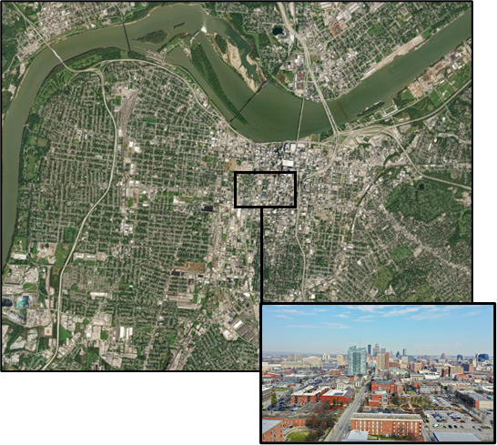
Figure 1: Downtown area of Louisville, KY
Why is this Important?
The impacts of heat are among the most pressing health and environmental concerns facing metropolitan areas globally (Tuholske et al., 2021). This project examines how improving the representation of land use and land cover in short-term weather forecast models—using high-resolution remote sensing data—can enhance our understanding of urban heat dynamics and mitigation strategies. This work supports more effective, data-driven approaches to reducing heat risk and improving resilience in cities.
How satellite data are being used to inform decision making and Earth Action?
Satellite data provide high-resolution information on land use and land cover, allowing models to better identify where urban heat risks are most concentrated. These insights help planners and decision-makers target strategies—such as increasing vegetation or adjusting development patterns—to reduce heat impacts.
References
[1] Heaviside et al., 2017 4(296-305 [2] Tuholske et al., 2021. PNAS 118(41).
Project Investigator: Andrea Gaughan, University of Louisville, KY, USA; Email: ae.gaughan@louisville.edu
The opinions expressed are solely the PI's and do not reflect NASA's or the US Government's views.