Understanding and Simulating Global Urban Expansion in the Context of Climate Change
Urbanization, a major driver of global change, profoundly impacts our physical and social world, for example, altering carbon cycling and climate. Understanding these consequences for better scientific insights and effective decision-making unarguably requires accurate information on urban extent and its spatial distributions. With support from NASA Land Cover and Land Use Change (LCLUC) Program, this webinar presented the research methods and findings from the project, Understanding and Simulating Global Urban Expansion in the Context of Climate Change.
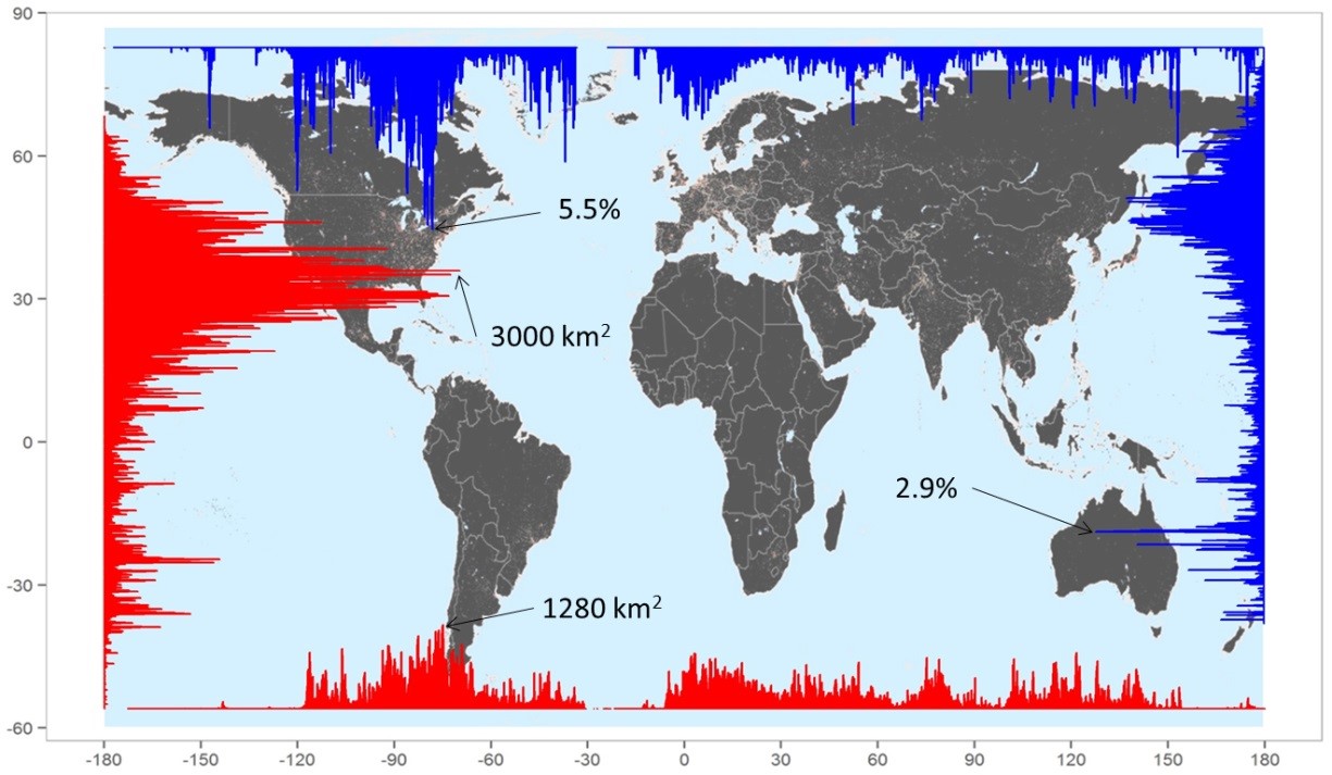
Figure 1. A global map of urban extent in 2000 and its distribution by longitude and latitude.
In this webinar, we first presented a cluster-based method to map urban extents from nighttime light data and demonstrated its application for mapping global urban extent and temporal dynamics in China. We then showed an integrated modeling framework to project future urban expansion by integrating a top-down macro-scale statistical model with a bottom-up urban growth model. Finally, we explored future urban growth in the US at the grid level over the next five decades under three scenarios.For more information, please contact Yuyu Zhou at yuyuzhou@iastate.edu. Read more about the project
